



Eyes in the Sky!
Drones have graduated from cool gadgets to serious coworkers, quietly changing how roads get built, crops get monitored, and critical decisions get made long before problems reach ground level.
What makes that shift especially interesting is that the story isn't really about the aircraft. It's about the network of public agencies, universities, researchers, and industry partners finding practical ways to solve everyday challenges with smarter technology.
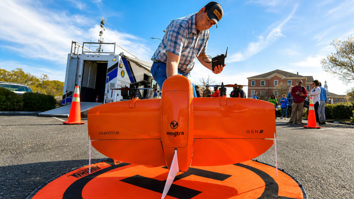
The Alabama Department of Transportation's Unmanned Aerial Systems (UAS) Program is a perfect example. Instead of sending inspectors into potentially hazardous locations, drones help engineers safely examine bridges, roadways, and construction sites from the air. They also support aerial surveying, mapping, environmental documentation, emergency response, and project monitoring. By capturing detailed data quickly and accurately, the program helps improve worker safety while reducing the time and cost associated with traditional inspections.
That same practical mindset is shaping the future workforce at Auburn University, where its nationally recognized Unmanned Aircraft Systems Program prepares students for careers in one of the fastest-growing technology fields. Students gain experience applying drone technology across engineering, forestry, building science, agriculture, and other industries where aerial data has become an increasingly valuable decision-making tool. Rather than treating drones as a niche specialty, Auburn is integrating unmanned aircraft into the kinds of careers that already power Alabama's economy.
Farming Smarter From Above
One of the university's most promising collaborations is taking place alongside the USDA National Soil Dynamics Laboratory. Researchers are pairing drones with artificial intelligence and advanced imaging technology to give farmers a clearer picture of what's happening across their fields without waiting for problems to become visible from the ground.
The technology can identify early signs of crop stress, monitor plant health, detect insects and disease sooner, and help determine where pesticides are actually needed instead of treating entire fields. That level of precision helps producers make more informed management decisions while improving efficiency and reducing unnecessary applications.
The research also generates detailed field data that supports long-term planning, giving growers another tool for adapting to changing weather conditions, protecting yields, and making every acre work a little harder.
As industries continue adopting unmanned aircraft systems, Alabama has positioned itself as more than a place where drones are tested. It's becoming a place where they're put to work every day, improving infrastructure, advancing research, strengthening agriculture, and training the skilled professionals who will keep the technology moving forward long after today's projects leave the ground.
Explore more business and industry developments taking flight across the state at https://www.guidetoalabama.com/business-associations!